

ALIZADEH, A. (1992), Prehistoric Settlement Patterns and Cultures in Susiana, Southwestern Iran - The Analysis of the F.G.L. Gremliza Survey Collection. University of Michigan Press (https://www.researchgate.net/publication/311558733_Prehistoric_Settlement_Patterns_and_Cultures_in_Susiana_Southwestern_Iran_The_Analysis_of_the_FGL_Gremliza_Survey_Collection)

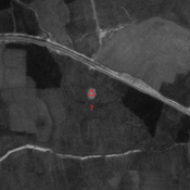
Location:
- Iran (Islamic Republic of), Farrokh
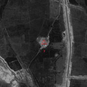
- geo:32.137047,48.462925
- Location ± 0-5 m.
Period or year:
- -40xx? / unknown
Class:
- Rural settlement
- invisible
Identifiers:
- vici:place=86535
Annotations
Nearby
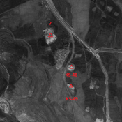
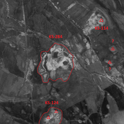
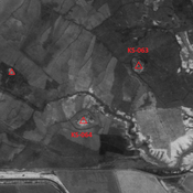
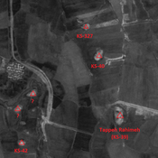
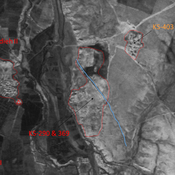
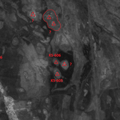
Unidentified site (1 km)
Probable settlement. Located with satellite imagery.
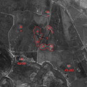
Bonch Yunes (56) (1 km)
Probable settlement. Located with satellite imagery. Destroyed by modern agriculture, but visible on CORONA imagery. No dating information.
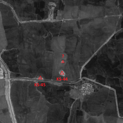
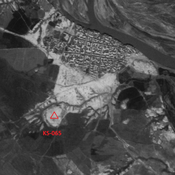
Tappeh Sham'un III (KS-043) (1 km)
Late Susiana I and Susa I settlement (2 ha).