
WENKE Robert J. (1975), Imperial investments and agricultural developments in Parthian and Sassanian Khuzestan, 150 B. C. to A. D. 640 (https://www.academia.edu/35337300/Imperial_Investments_and_Agricultural_Developments_in_Parthian_and_Sassanian_Khuzestan_Iran_)
 - CORONA imagery")
Surroundings:
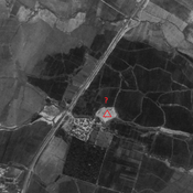

Location:
- Iran (Islamic Republic of), Gonjeh
- geo:32.372967,48.255302
- Location ± 0-5 m.
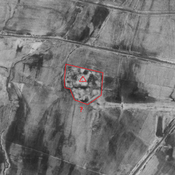
Period or year:
- 4xx / 10xx
Class:
- Vicus or canabae
- invisible
Identifiers:
- vici:place=86421
Annotations
Nearby
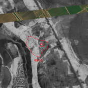
Anonymous site (KS-392)
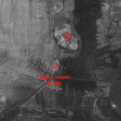
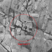
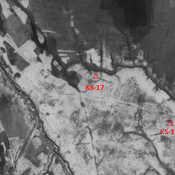
Early Medieval Islamic site. Destroyed by modern agriculture. But visible on CORONA imagery.
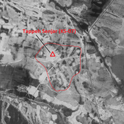
Unidentified site
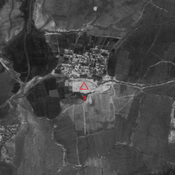
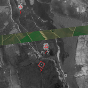
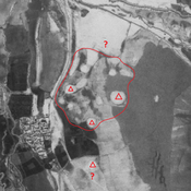
Probable settlement. Large site, destroyed by modern agriculture. But visible on CORONA imagery.
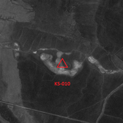
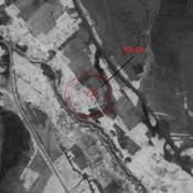
Anonymous site (KS-437) (1 km)
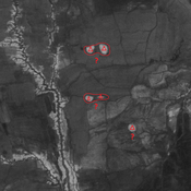
Late Sasanian site. Destroyed by modern agriculture. But visible on CORONA imagery.