
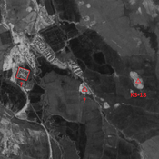
No annotations have been added. Please add information about this place.

Location:
- Iran (Islamic Republic of), Dehestān-e Fatḩ ol Mobīn
- geo:32.305325,48.133999
- Location ± 0-5 m.
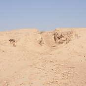
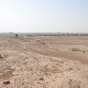
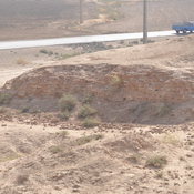
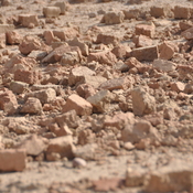
Class:
- Archaeological observation
- visible
Identifiers:
- vici:place=86395
Annotations
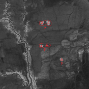
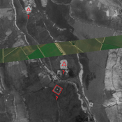
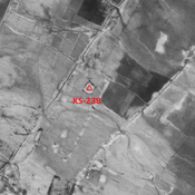
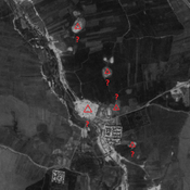
Nearby
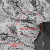
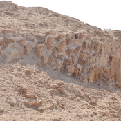
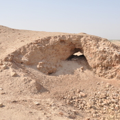
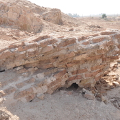
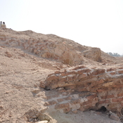
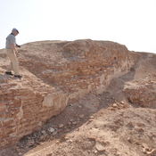
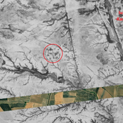
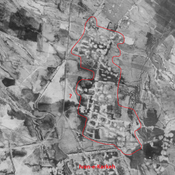
Unidentified site (medieval Karkah?)
Large Sasanian and medieval Islamic settlement. Badly damaged by modern human activities, but better visible on CORONA imagery.
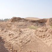
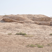
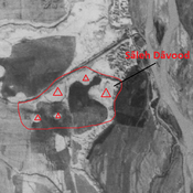
Tepe Soreh Salj Mushatt
Sasanian and medieval settlement (cluster of mounds). Probable industrial area south-east of Ivan-e Karkeh.
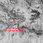
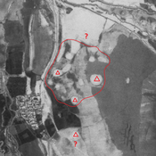
Ishan Al Aswad (KS-239 and WK-157) (1 km)
Late-Middle Susiana, Late Susiana 1 and 2, Terminakl Susa I, Susa II and III, and Old Elamite settlement (1,5 ha). Eastern side largely eroded ; southern and western portions destroyed by modern agriculture.