
ZALAGHI Ali (2014), Entwicklung der Siedlungsmuster im Westen des Karkheh-Flusses in der Region Khuzestan (Iran) in prähistorischer Zeit, ELAMICA 4 (https://www.academia.edu/9765853/2014_Entwicklung_der_Siedlungsmuster_im_Westen_des_Karkheh_Flusses_in_der_Region_Khuzestan_Iran_in_pr%C3%A4historischer_Zeit_ELAMICA_4)

Location:
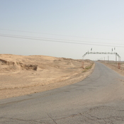
- Iran (Islamic Republic of), Esteqlāl
- geo:32.293175,48.126705
- Location ± 0-5 m.
Period or year:
- -38xx / -26xx
Class:
- Rural settlement
- visible
Identifiers:
- vici:place=86392
Annotations
Nearby
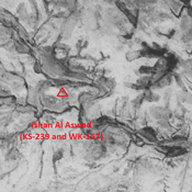
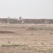
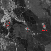
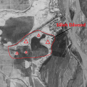
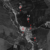
Tappeh Ishan Maslit A (WK-161 & KS-240)
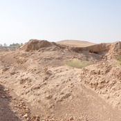
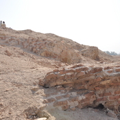
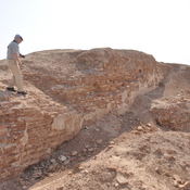
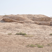
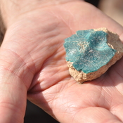
Also known as Haluimash in earlier publications. Based on this name, sometimes identified with Neo-Elamite city of Haltemash, but unconfirmed by ceramics finds. Late-Middle Susiana to Susa IV settlement (1,7 ha).
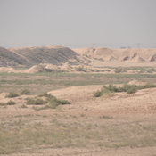
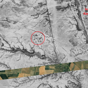
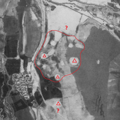
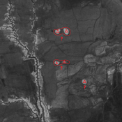
Unidentified site
Probable settlement. Located with satellite imagery.
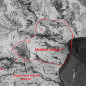
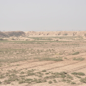
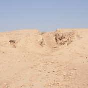
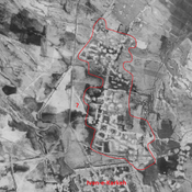
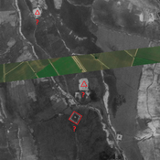
Unidentified site (medieval Karkah?)
Large Sasanian and medieval Islamic settlement. Badly damaged by modern human activities, but better visible on CORONA imagery.