

DITTMANN R. (1986), Betrachtungen zur Frühzeit des Südwest‑Iran, Berliner Beiträge zum Vorderen Orient 4, Berlin. (https://www.academia.edu/12736268/Betrachtungen_zur_Fr%C3%BChzeit_des_S%C3%BCdwest_Iran_Berliner_Beitr%C3%A4ge_zum_Vorderen_Orient_Bd_4_Teil_II)

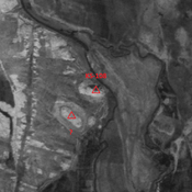
Location:
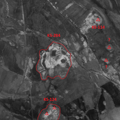
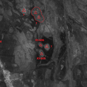
- Iran (Islamic Republic of), Shongor-e Soflá
- geo:32.130054,48.539295
- Location ± 0-5 m.
Period or year:
- -47xx / -42xx
Class:
- Rural settlement
- visible
Identifiers:
- vici:place=86318
Annotations
Nearby
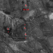
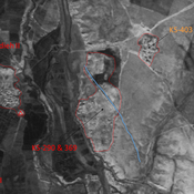
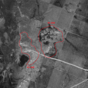
Anonymous settlement (KS-489)
Seleuco-Parthian settlement. Single-mound, destroyed by modern agriculture. But visible on CORONA imagery.
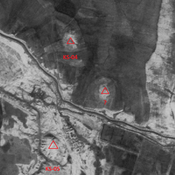
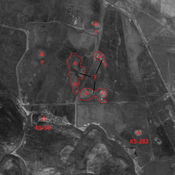
Unidentified site
Probable settlement. Located with satellite imagery.
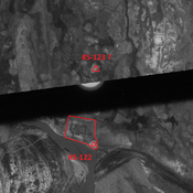
Unidentified site
Probable settlement. Located with satellite imagery.