
WENKE Robert J. (1975), Imperial investments and agricultural developments in Parthian and Sassanian Khuzestan, 150 B. C. to A. D. 640 (https://www.academia.edu/35337300/Imperial_Investments_and_Agricultural_Developments_in_Parthian_and_Sassanian_Khuzestan_Iran_)

Location:
- Iran (Islamic Republic of), Neyābād
- geo:32.115185,48.591221
- Location ± 0-5 m.
Period or year:
- 25~ / 250~
Class:
- Vicus or canabae
- visible
Identifiers:
- vici:place=86142
Annotations
Nearby
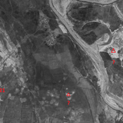
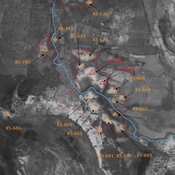
Anonymous settlement (KS-754-758)
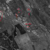
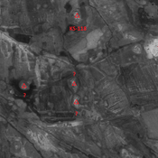
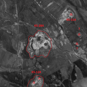
Middle & Terminal Parthian, and early Sassanian settlement. Cluster of mounds, of which only one remains. But visible on CORONA imagery.
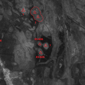
Anonymous settlement (KS-797-803 & 805)
Middle & terminal Parthian settlement. Cluster of mounds, destroyed by modern agriculture, but visible on CORONA imagery.
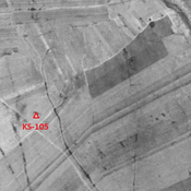
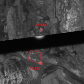
Unidentified site (1 km)
Probable settlement. Located with satellite imagery.