Vici.org

Surroundings:

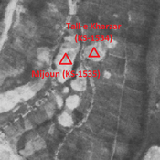
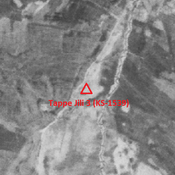
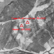
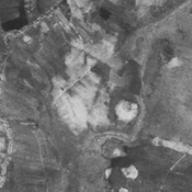
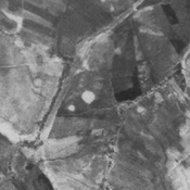
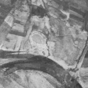
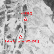
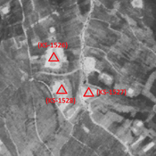
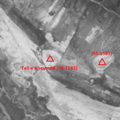
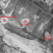
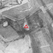
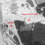
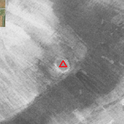
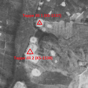
Tappe Jili 1 & 2 (KS-1537, 1538) - CORONA imagery 1968Mijoun (KS-1535) - CORONA imagery 1968Tappe Jili 3 (KS-1539) - CORONA imagery 1968Tappe Poshtak-e Nazar (KS-1531) - CORONA imagery 1968Tall-e Beriber 2 (KS-1540) - CORONA imagery 1968Tall-e Nazar (KS-1536) - CORONA imagery 1968Tall-e Kalabla (KS-1529) - CORONA imagery 1968Tall-e Marqeri (KS-1530) - CORONA imagery 1968Tall-e Mirzadeh (KS-1591) & KS-1590 - CORONA imagery 1968Anonymous sites (KS-1526, 1527, 1528) - CORONA imagery 1968Tall-e Kheyrolla (KS-1581) - CORONA imagery 1968Anonymous settlement (KS-1583) - CORONA imagery 1968Unidentified site (Gobeyr 1) - CORONA imagery 1Anonymous settlement (KS-1584) - CORONA imagery 1968Jambovala 2 (KS-1517) - CORONA imagery 1968Zamin-e Haj Yaqub (KS-1514) - CORONA imgaery 1968Mordargardesh (KS-1518) - CORONA imagery 1968Tappe Faraj (KS-1602) - CORONA imagery 1968Unidentified site (Bunneh Farwaz Khān 1)

Location:

  • Iran (Islamic Republic of), Langar
  • geo:31.920696,48.840836
  • Location ± 0-5 m.

Period or year:

  • -1xx / 6xx

Class:

  • Vicus or canabae
  • visible

Identifiers:

  • vici:place=85800

Annotations


Nearby

Tappe Jili 2 (KS-1538)

No dating information. Cluster of mounds (2,41 ha). Leveled and destroyed by agriculture, but visible on CORONA imagery.

Tall-e Kharzar (KS-1534)

Sasanian and early medieval Islamic settlement (0,74 ha).

Mijoun (KS-1535)

Medieval middle Islamic site (2,19 ha), part of a cluster of mounds. Destroyed by agriculture, but visible on CORONA imagery.


This object was added by Julien De Chocqueuse on 2023-04-15. Last update by Julien De Chocqueuse on 2023-04-17. Persistent URI: http://vici.org/vici/85800 . Download as RDF/XML, KML.
Annotation available using the Creative Commons Attribution-ShareAlike 3.0 Unported license. Metadata available using the Creative Commons Public Domain Dedication, unless it is explicitly stated otherwise.

Vici.org partners:

Livius.org: articles on ancient history   Rijksmuseum van Oudheden