
KARIMIAN Hassan, KOOCHAK Gholamali (2012), Ivan-E- Karkheh: The Spatial Structure, Form and Function with Reference to the Archeological Data (https://jarcs.ut.ac.ir/article_28860.html?lang=en) (persian)

Location:
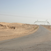
- Iran (Islamic Republic of), Dehestān-e Fatḩ ol Mobīn
- geo:32.305508,48.143276
- Location ± 0-5 m.
Period or year:
- 3xx / 12xx?
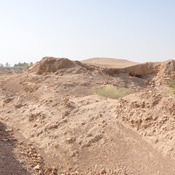
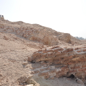
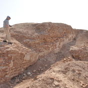
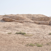
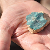
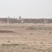
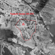
Class:
- Workshop or industry
- visible
Identifiers:
- vici:place=85309
Annotations
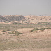
Nearby
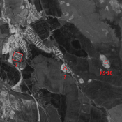
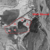
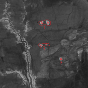
Unidentified site
Probable settlement. Located with satellite imagery.
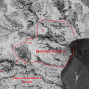
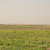
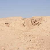
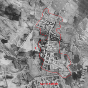
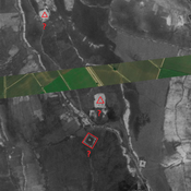
Unidentified site (medieval Karkah?) (1 km)
Large Sasanian and medieval Islamic settlement. Badly damaged by modern human activities, but better visible on CORONA imagery.
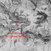
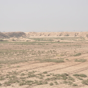
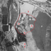
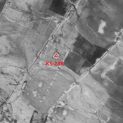
Ishan Al Aswad (KS-239 and WK-157) (1 km)
Late-Middle Susiana, Late Susiana 1 and 2, Terminakl Susa I, Susa II and III, and Old Elamite settlement (1,5 ha). Eastern side largely eroded ; southern and western portions destroyed by modern agriculture.