
ZALAGHI Ali (2014), Entwicklung der Siedlungsmuster im Westen des Karkheh-Flusses in der Region Khuzestan (Iran) in prähistorischer Zeit, ELAMICA 4 (https://www.academia.edu/9765853/2014_Entwicklung_der_Siedlungsmuster_im_Westen_des_Karkheh_Flusses_in_der_Region_Khuzestan_Iran_in_pr%C3%A4historischer_Zeit_ELAMICA_4)
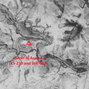
 - CORONA imagery")
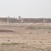
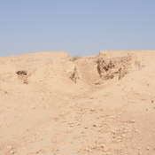
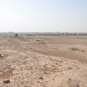
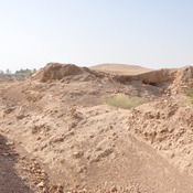
Surroundings:
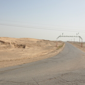
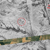
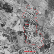
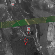

Location:
- Iran (Islamic Republic of), Dehestān-e Fatḩ ol Mobīn
- geo:32.299465,48.128784
- Location ± 0-5 m.
Period or year:
- 2xx / 12xx?
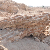
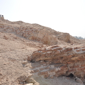
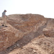
Class:
- City
- visible
Identifiers:
- vici:place=85305
Annotations
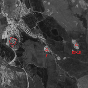
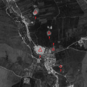
Nearby
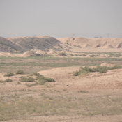
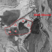
Unidentified site
Probable settlement. Located with satellite imagery.
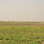
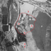
Tappeh Ishan Maslit B (WK-160)
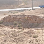
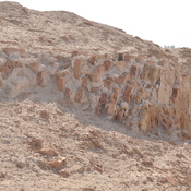
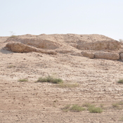
Susa II and III settlement (2,4 ha). Strongly eroded mound.
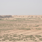
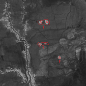
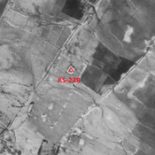
Tappeh Ishan Maslit A (WK-161 & KS-240)
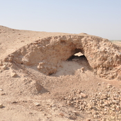
Also known as Haluimash in earlier publications. Based on this name, sometimes identified with Neo-Elamite city of Haltemash, but unconfirmed by ceramics finds. Late-Middle Susiana to Susa IV settlement (1,7 ha).