
WENKE Robert J. (1975), Imperial investments and agricultural developments in Parthian and Sassanian Khuzestan, 150 B. C. to A. D. 640 (https://www.academia.edu/35337300/Imperial_Investments_and_Agricultural_Developments_in_Parthian_and_Sassanian_Khuzestan_Iran_)
 - CORONA imagery")
Surroundings:
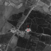

Location:
- Iran (Islamic Republic of), Dezfūl
- geo:32.395943,48.221462
- Location ± 0-5 m.
Period or year:
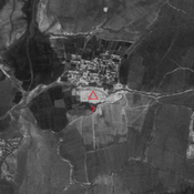
- 4xx / 10xx
Class:
- Vicus or canabae
- visible
Identifiers:
- vici:place=85299
Annotations
Nearby
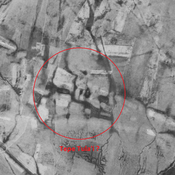
Anonymous settlement (KS-373) (1 km)
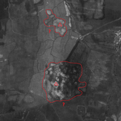
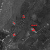
Early Sasanian site.Dual-mound, destroyed by modern agriculture. But visible on CORONA imagery.
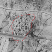
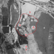
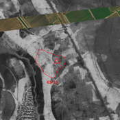
Anonymous settlement (KS-374) (1 km)
Terminal Parthian site. Destroyed by modern agriculture. But visible on CORONA imagery.
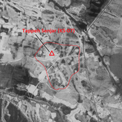
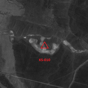
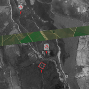
Anonymous settlement (KS-375) (2 km)
Terminal Parthian settlement. Destroyed by modern agriculture. But visible on CORONA imagery.