
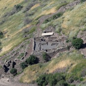

Location:
- Israel, H̱aspin
- geo:32.86364,35.766418
- Location ± 0-5 m.
Period or year:
- 50?~ / unknown
Class:
- Rural settlement
- visible
Identifiers:
- vici:place=84784
Annotations
Nearby
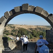
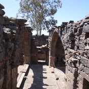
Khirbet Majduliyah Roman Monumental Structure.
Ancient Synagogue?
Roman Rd (2 km)
Roman Rd
Umm el Kanatir (3 km)
Roman town