

DITTMANN R. (1986), Betrachtungen zur Frühzeit des Südwest‑Iran, Berliner Beiträge zum Vorderen Orient 4, Berlin. (https://www.academia.edu/12736268/Betrachtungen_zur_Fr%C3%BChzeit_des_S%C3%BCdwest_Iran_Berliner_Beitr%C3%A4ge_zum_Vorderen_Orient_Bd_4_Teil_II)

Location:
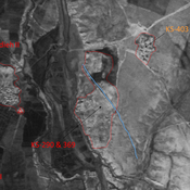
- Iran (Islamic Republic of), Hādīshāh
- geo:32.112602,48.529037
- Location ± 0-5 m.
Period or year:
- -47xx / -42xx
Class:
- Vicus or canabae
- visible
Identifiers:
- vici:place=80381
Annotations
Nearby
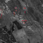
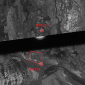
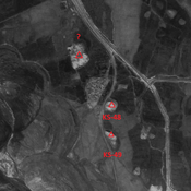
Anonymous settlement (KS-486)
Early Sasanian settlement, destroyed by modern agriculture, but visible on CORONA imagery.
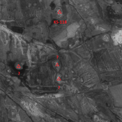
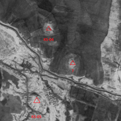
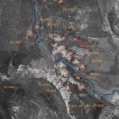
Anonymous settlement (KS-510)
Seleuco-Parthian and Middle Parthian site. Single-mound, destroyed by modern agriculture. But visible on CORONA imagery.
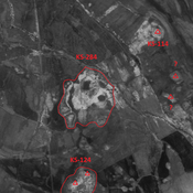
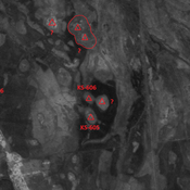
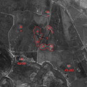
Anonymous settlement (KS-284, 484, 486-487)
Late Susiana I, Susa I, Terminal Susa I, early & middle Uruk (0,3 ha ?), and Middle & Terminal Parthian settlement. Large site composed of several eroded mounds, destroyed by modern agriculture. But visible on CORONA imagery.