
STRIDE, S. (2004), La Géographie archéologique de la province du Surkhan Darya (Bactriane du Nord, Ouzbekistan du Sud). Unpublished dissertation at the Université panthéon-Sorbonne (Paris), 5 vols. ( https://sirisacademic.academia.edu/SebastianStride?swp=tc-au-44230952 )
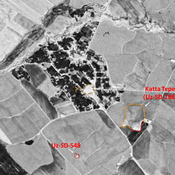
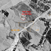
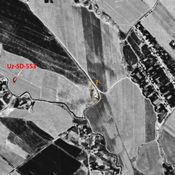
 - UZB-SD_1970_Katta Tepe 198")
Surroundings:
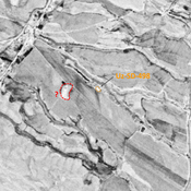


Location:
- Uzbekistan, Khedersha
- geo:38.220943,67.748589
- Location ± 0-5 m.
Period or year:
- 9xx / 12xx
Class:
- Rural settlement
- visible
Identifiers:
- vici:place=76523
Annotations
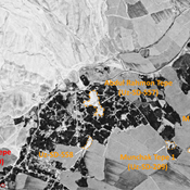
Nearby
Unidentified site
Probable archaeological site. Mound, visible on Corona imagery (1970), since destroyed by urbanisation.
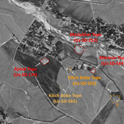
Anonymous settlement (Uz-SD-548)
Medieval Islamic settlement (0,1 ha). Small circular site, studied by MAFOuz.
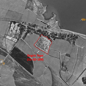
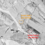
Kosh Tepe (Uz-SD-181) (1 km)
Pre-modern settlement (ceramics), but probably older settlement (0,35 ha). Studied by Arshavskaja & Rtveladze, and MAFOuz.