
HOPPER, Kristen Alicia (2017), The Gorgan Plain of northeast Iran - a diachronic analysis of settlement and land use patterns relating to urban, rural and mobile populations on a Sasanian frontier, Durham theses, Durham University (http://etheses.dur.ac.uk/12326/)
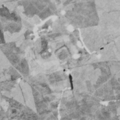
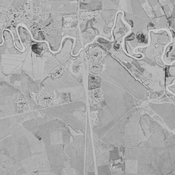
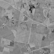
, Gorgan plain, Iran Corona imagery.")
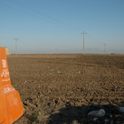
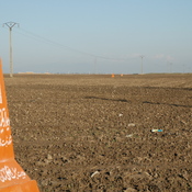
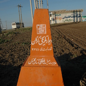
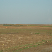
Surroundings:

Location:
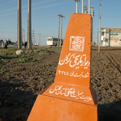
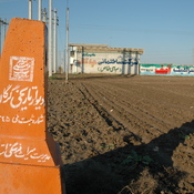
- Iran (Islamic Republic of), Gonbad-e Kāvūs
- geo:37.254597,55.217426
- Location ± 0-5 m.
Period or year:
- -7xx / 14xx
Class:
- Vicus or canabae
- visible
Identifiers:
- vici:place=74695
Annotations
Nearby
Āk Tamin Tappeh (KH-43) (1 km)
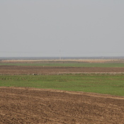
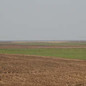
No dating information. Outer perimeter badly damaged by agriculture, but still visible on CORONA imagery (1969).
Qal‘eh-ye Qabrestān (GWS-56) (1 km)
No dating available. Almost completely destroyed.
Sediq Tappeh (KH-41) (1 km)
Bronze Age, Iron Age III & IV, and medieval islamic settlement. Complex of low mounds, leveled and almost completely destroyed by agriculture, but still visible on CORONA imagery (1969).