
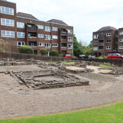
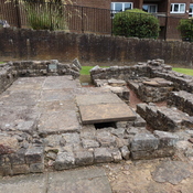
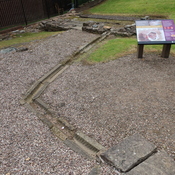
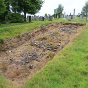
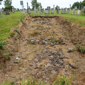
This original small fort was 18 meters square and predated the Antonine Wall. It was expanded by two annex works on both the east and west. The north wall of the fort became the line of the Wall, but a second wall was added to the north.

Location:
- United Kingdom of Great Britain and Northern Ireland, Duntocher
- geo:55.923122,-4.409477
- Location ± 5-25 m.
Class:
- Castle
- visible
Identifiers:
- vici:place=6849
Annotations
Nearby
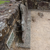
Duntocher (Handmühle)
Duntocher (Handmühle)
Duntocher (Thermen)
Duntocher (Thermen)
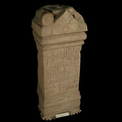
Duntocher (Distanztafel)
Duntocher (Distanztafel)