
No annotations have been added. Please add information about this place.

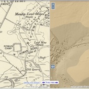
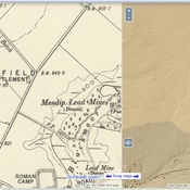
Location:
- United Kingdom of Great Britain and Northern Ireland, Priddy
- geo:51.260361,-2.67366
- Location ± 5-25 m.
Class:
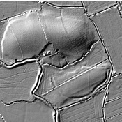
- Villa rustica
- invisible
Identifiers:
- vici:place=6740
Annotations
Nearby
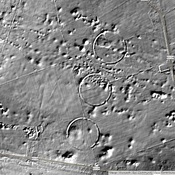
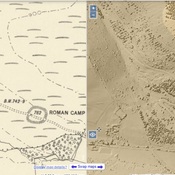
Castle Farm (1 km)
Three of the Priddy Circles and one barrow, 400m west of Castle Farm.
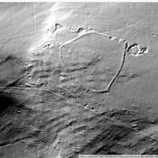
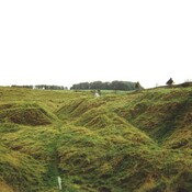
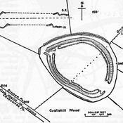
Westbury Camp (4 km)
Westbury Camp, slight univallate hillfort, 750m north of Stokewood Cottage.
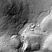
Charterhouse (4 km)
Roman lead mines at Charterhouse