Vici.org
No images available yet. Please add images related to this place.

Surroundings:

Map of earthworks at Maes Knoll, SomersetMaes KnollIron Age hill fort at Ham HillStantonbury Camp

Location:

  • United Kingdom of Great Britain and Northern Ireland, Bishop Sutton
  • geo:51.346577,-2.592938
  • Location ± 5-25 m.

Class:

  • Villa rustica
  • invisible

Identifiers:

  • vici:place=6721

Annotations


Nearby

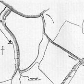
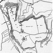
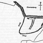
Burledge Hill (2 km)

Univallate Iron Age hill fort.

Stanton Drew Great Cove (2 km)

Neolithic standing stones.

Stanton Drew Southwest Circle (2 km)

Stanton Drew stone circles.


This object was added by René Voorburg on 2012-06-10. Last update by René Voorburg on 2012-06-10. Persistent URI: http://vici.org/vici/6721 . Download as RDF/XML, KML.
Annotation available using the Creative Commons Attribution-ShareAlike 3.0 Unported license. Metadata available using the Creative Commons Public Domain Dedication, unless it is explicitly stated otherwise.

Vici.org partners:

Livius.org: articles on ancient history   Rijksmuseum van Oudheden