
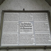


Nr D-1-8036-0145

Location:
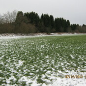
- Germany, Aying
- geo:47.952679,11.767516
- Location ± 0-5 m.
Period or year:
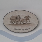
- 250 / unknown
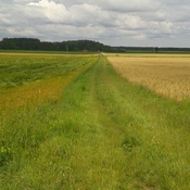
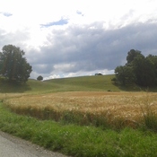
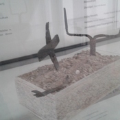
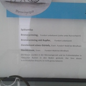
Class:
- Rural settlement
- invisible
Identifiers:
- vici:place=57543
Annotations
Nearby
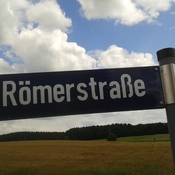
Römerstraße Göggenhofen (1 km)
Straße
Siedlung Aying-Peiß (1 km)
Siedlung
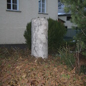
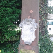
Milestone Großhelfendorf (CIL 17-04-01, no. 050) (2 km)
Milestone Großhelfendorf (CIL 17-04-01, no. 050), see http://oracle-vm.ku-eichstaett.de:8888/epigr/epieinzel_en?p_belegstelle=CIL+17-04-01,+00050. Data from http://francia.ahlfeldt.se/