

There is no English annotation yet. Presented is an annotation in German.
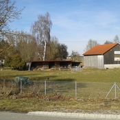
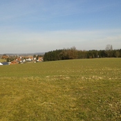
Oberbayern, Dachau, Haimhausen
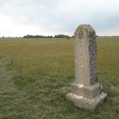
Bodendenkmal Denkmalnummer D-1-7635-0204 Straße der römischen Kaiserzeit (Teilstück der sog. Isartalstraße).
Dieses Teilstück läuft ab der Amper (davor D-1-7635-0003) bis zur Ingolstädter Straße.