
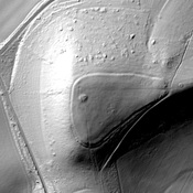
The Ordnance Survey maps refer to this as the Icknield Way, which is probably not correct.

Location:
- United Kingdom of Great Britain and Northern Ireland, Dunstable
- geo:51.880791,-0.507852
- Location ± 0-5 m.
Class:
- Road
- visible
Identifiers:
- vici:place=28180
Annotations
Nearby
Durocobrivis (1 km)
OmnesViae import OVPlace424
Villa at Totternhoe (3 km)
Villa at Totternhoe (MONUMENT NO. 346563)
Ivinghoe Beacon (7 km)
Iron age hillfort