Vici.org
No images available yet. Please add images related to this place.

Surroundings:

Muir O' Fauld Signal StationGask House Signal StationWitch Knowe signal stationArdunie watchtowerRaith signal stationThorny Hill Signal StationParkneuk Cottage Signal StationDun KnockAuchterarderStrageath Roman Fort

Location:

  • United Kingdom of Great Britain and Northern Ireland, St David's
  • geo:56.351871,-3.65906
  • Location ± 0-5 m.

Class:

  • Road
  • visible

Identifiers:

  • vici:place=27733

Annotations

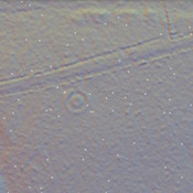
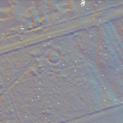
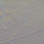
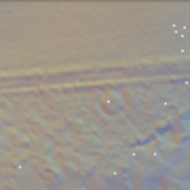
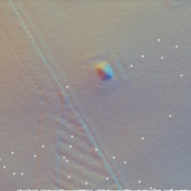
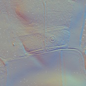
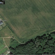
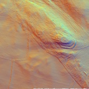
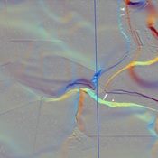
The Canmore mapping clearly shows the road along this route.


Nearby

Muir O' Fauld Signal Station

Muir O' Fauld Signal Station

Kirkhill signal station

Kirkhill signal station

Gask House Temporary Camp (1 km)

Gask House Temporary Camp


This object was added by Randal Gilbert on 2016-06-23. Last update by Randal Gilbert on 2016-06-23. Persistent URI: http://vici.org/vici/27733 . Download as RDF/XML, GeoJSON, KML.
Annotation available using the Creative Commons Attribution-ShareAlike 3.0 Unported license. Metadata available using the Creative Commons Public Domain Dedication, unless it is explicitly stated otherwise.
Line tracing by Randal Gilbert.

Vici.org partners:

Livius.org: articles on ancient history   Rijksmuseum van Oudheden