Vici.org
No images available yet. Please add images related to this place.

Surroundings:

harencBettirBettirTell AtchanaTell Atchana - excavations 2011Excavations 2011Excavations 2011Excavations 2011Gate Lions from Tell Açana.Tudhaliya IV OrthostatYarim-Lim of AlalakhStatue of Idrimi XVI cent.Üçtepe III MoundKfer. Plan of the chapel.

Location:

  • Türkiye, Mamykly
  • geo:36.222237,36.478214
  • Location ± 0-5 m.

Class:

  • Vicus or canabae
  • visible

Identifiers:

  • vici:place=24523

Annotations

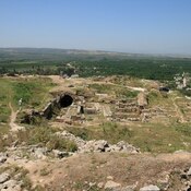
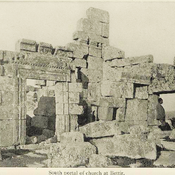
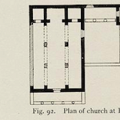
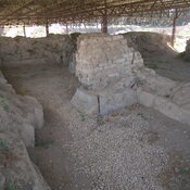
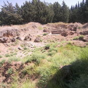
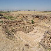
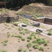
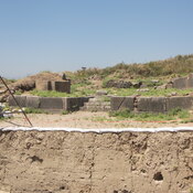
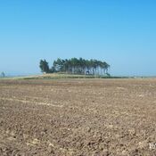
Archaeological site in Amuq Valley.


Nearby

Ancient settlement (2 km)

Ancient settlement

Tabarat Algana (AS 130) (3 km)

Hellenistic/Late Roman/Early Byzantine site.

Kuletepe near Reyhanlı (3 km)

Archeological site in South Turkey.


This object was added by Elżbieta on 2016-01-22. Last update by Elżbieta on 2017-05-19. Persistent URI: http://vici.org/vici/24523 . Download as RDF/XML, GeoJSON, KML.
Annotation available using the Creative Commons Attribution-ShareAlike 3.0 Unported license. Metadata available using the Creative Commons Public Domain Dedication, unless it is explicitly stated otherwise.

Vici.org partners:

Livius.org: articles on ancient history   Rijksmuseum van Oudheden