
There is no English annotation yet. Presented is an annotation in French.
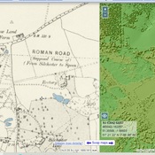
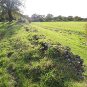
Roman Road between Winchester and Silchester


Roman Road between Winchester and Silchester
Roman Road between Winchester and Silchester
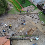
Villa at Monk Sherborne (MONUMENT NO. 240586)
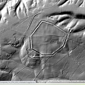
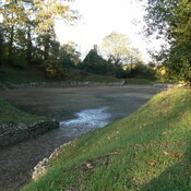
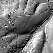
Remains of an iron age hill fort
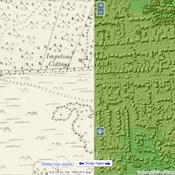
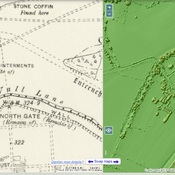
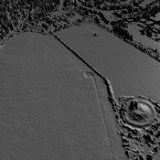
Road from Old Sarum to Silchester (The Port Way)