
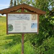
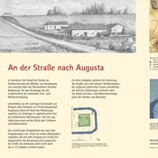

There is no English annotation yet. Presented is an annotation in German.
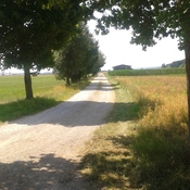
Typ/Type: Infrastruktur - Straße / Infrastructure - Street
Provinz/Province: Raetia
Schwaben, Ostallgäu, Baisweil, Lauchdorf
Bodendenkmal Denkmalnummer D-7-8029-0066 Teilstück einer Straße der römischen Kaiserzeit.