
Vici.org
No images available yet. Please add images related to this place.

Surroundings:

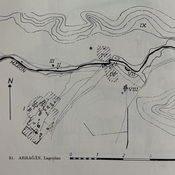
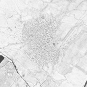
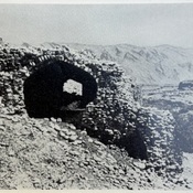
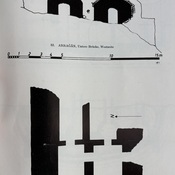
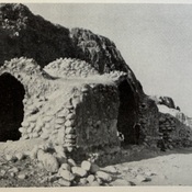
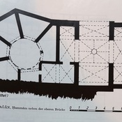
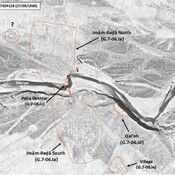
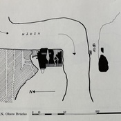
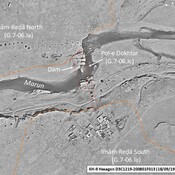
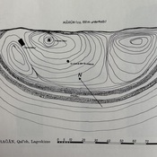
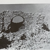
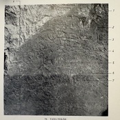
Arrajan_G.7-05.I, Gaube (1973)_Site mapIRAN_Behbahab_1969_Arrajan_Corona imageryLower Bridge_G.7-05.II, Gaube (1973)_PhotoLower Bridge_G.7-05.II, Gaube (1973)_Site mapsHammam_G.7-06.Ib, Gaube (1973)_Site mapHammam_G.7-06.Ib, Gaube (1973)_Site map 2IRAN_Kohkiluyeh & Buyer Ahmad_Imam Reda_G.7-06.Ia_1969Upper Bridge_G.7-06.Ic, Gaube (1973)_Site mapIRAN_Kohkiluyeh & Buyer Ahmad_Pol-e Dokhtar_G.7-06.Ic_1984Qal'eh_G.7-06.Id, Gaube (1973)_Site mapPast-Gard_G.7-06.IV, Gaube (1973)_Photo 1Tang-e Takab inscription_G.7-06.III, Gaube (1973)_Photo

Location:

  • Iran (Islamic Republic of), Khārestān
  • geo:30.647129,50.283325
  • Location ± 0-5 m.

Class:

  • Archaeological observation
  • invisible

Identifiers:

  • vici:place=104542

Annotations


Nearby

Arrajan (G.7-05.I) (1 km)

Elamite, sasanian and medieval city of Arrajan, administrative center of the eponym Kūra. Also known as Arjan and Argan. Extensive archaeological site (3,75 km²). Abandonned in the 14th c. Surveyed by Gaube (1968).

Unidentified site (1 km)

Probable settlement. Located with satellite imagery.

Unidentified site (1 km)

Probable settlement. Located with satellite imagery. Mound, mostly destroyed by agriculture.


This object was added by Julien De Chocqueuse on 2026-10-03. Last update by Julien De Chocqueuse on 2026-10-03. Persistent URI: http://vici.org/vici/104542 . Download as RDF/XML, KML.
Annotation available using the Creative Commons Attribution-ShareAlike 3.0 Unported license. Metadata available using the Creative Commons Public Domain Dedication, unless it is explicitly stated otherwise.

Vici.org partners:

Livius.org: articles on ancient history   Rijksmuseum van Oudheden