
There is no English annotation yet. Presented is an annotation in German.
")
Surroundings:
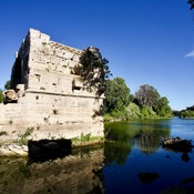
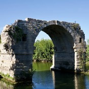
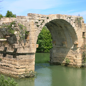

Location:
- France, Sommières
- geo:43.782242,4.089045
- Location ± 0-5 m.
Class:
- Bridge
- visible
Identifiers:
- vici:place=11452
- dare:place=415360
Annotations
Nearby
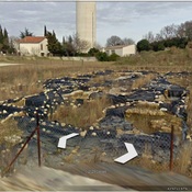
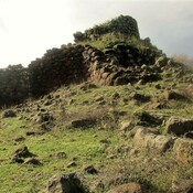
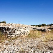
Villevieille, les Terriers
Roman buldings
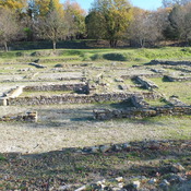
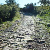
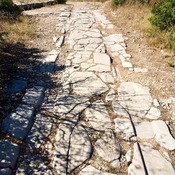
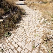
Roman Rd (2 km)
Roman Rd
A trench carved into the rock (2 km)
A trench carved into the rock